Utility Locating at Fossil Fuel Plant in Kentucky
GPRS is the largest company that specializes in the detection of underground utilities and the scanning of concrete. We have extensive training and project managers nationwide that can service the needs of any job, both large and small. We recently had a client contact GPRS about a 42 acre utility locate at one of the largest fossil fuel plants in Kentucky.
The client was completely redesigning the layout of the plant and needed every utility located, GPRS was the company chosen to complete the project. With our experience and expertise, the client was put at ease knowing GPRS had the resources and expertise to complete this project. After an initial site walk through, we were able to identify the client’s needs precisely and perform the task at hand.
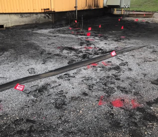
This job was no challenge to GPRS as we have performed many jobs of this caliber. We had three project managers to work this particular job site. To start, we broke up into three sections, one per manager to work on. We started by requesting plant blueprints of the underground infrastructure in order to get a more accurate depiction of the utility layout. We then started the process by direct connecting to all visible utilities, marking both the physical location and recording the depths. After we connected to all of the utilities, we performed what’s called a passive sweep. A passive sweep is when we scan the job site using the EM pipe locator to detect any underground infrastructure that may have otherwise not been visible.
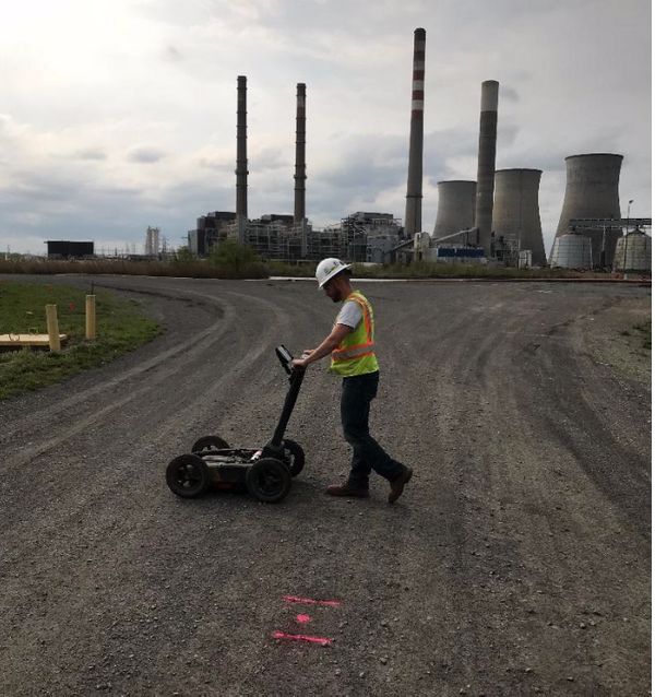
Once this process was complete, we used out 1600 underground utility cart to perform ground penetrating radar. This is a vital process due to how much underground infrastructure can change beneath the surface but may not change on the blue print over time……it allowed us to find multiple utilities which had been re-routed or abandoned that would have otherwise gone unnoticed due to multiple factors (the utility isn’t visible due to where it goes in the ground, we were unable to gain access to the utility, etc). At this point we went over all of our findings with our site contact. Explaining what our markings meant, the depths on the utilities, and what we were able to discover with radar.
The client also requested CAD. This is a service we offer that provides our clients with a Google Earth overlay of the underground infrastructure we located with both the EM pipe locator and the Ground Penetrating Radar.
GPRS has had many high-profile jobs that we have performed with clients. From government facilities to residential homeowners. No job is to big or too small. GPRS is a unique company, on this particular job we acquired a friend who had no home but now he does. His name is Charley, he helped us “sniff out” the utilities. GPRS is always up for the challenge and we strive for the customers satisfaction. Contact GPRS today to start your concrete scanning or utility locating project.